


scientific activity
13
May
2024
17
May
2924
TWAS-IPCC Project | (smr H665)
Physical
Back
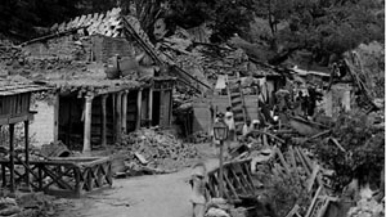
The Himalayan mountain range, formed by the collision between
India and Eurasia, is a work in progress: as the Indian plate
continues in a northward motion, earthquakes are generated,
contributing to the continued building of the mountains in what is
known as the Indo-Asian Collision Zone, a unique natural laboratory
in the world.
What is the ongoing tectonics of this continued collision course?
What is known about past large Himalayan earthquakes, what is
uncertain, and where are the gaps in knowledge and in seismicity
where large and destructive events could occur in the foreseeable
future? Answers to these questions will contribute to a better
assessment of the earthquake hazard and risk in a region where more
than 50 million people are at risk from future earthquakes and
associated landslides and outburst floods.
These issues will be addressed in a workshop held by ICTP in
Kathmandu, Nepal, from 15 to 24 November 2012, titled
"Quantification of Seismic Hazards in the Indo/Asian Collision
Zone". The workshop aims to provide attendees from Nepal, Pakistan,
India, Bangladesh and China with some of the modern tools and
techniques needed to estimate seismic hazard, and to turn these
into estimates of seismic risk.
"Estimates of risk include very careful estimates of the
reliability of seismic hazards provided as input to risk
calculations. But if the hazard information provided as input
is inadequate, estimates of risk will be inaccurate," said workshop
director Abdelkrim Aoudia of ICTP's Earth System Physics section,
adding, "Therefore, this workshop will focus specifically on issues
that can lead to erroneous estimates of seismic
hazard."
The workshop is co-directed by Aoudia, Roger Bilham (University of
Colorado, USA) and Bishal Upreti (Tribhuvan University,
Nepal).
For more details about the workshop, visit its website.